
The Complete Guide to Drone Surveys in India (2026)
How RTK drone surveys work, what accuracy to expect, DGCA rules, deliverables and how to choose a survey partner.
Read article
Startflying Solution delivers survey-grade drone data, industrial inspections and custom UAV solutions — faster, safer and more cost-effectively than traditional methods. From a 2-acre plot to a 200-km corridor.
Startflying Solution Private Limited is a Gurugram-based drone technology company offering the full spectrum of Unmanned Aerial Vehicle services. We operate to stringent safety standards, transform continuously with the latest technology, and deliver best-in-class products and services to government, defence and enterprise clients across India.

Nine specialised service lines covering the entire UAV value chain — from capturing data to building the drones themselves.

Orthomosaic, DSM/DTM/DEM, point cloud, LiDAR & digital twins.
Explore service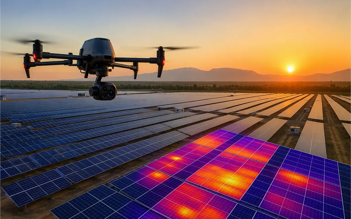
Solar, thermal, transmission line, wind, O&G & structural inspection.
Explore service
Progress tracking, earthwork volumes, stockpiles & AI reports.
Explore service
Crop health, NDVI, spraying, plant count & precision farming.
Explore service
Industrial security, border monitoring, emergency & night ops.
Explore service
Custom UAVs, FPV, survey, industrial, defence & training drones.
Explore service

Repairs, calibration, payload integration, firmware & AMC.
Explore serviceGovernment, defence, mining, solar, oil & gas, construction, infrastructure, agriculture and beyond.
Plant thermography, construction monitoring & O&M analytics for utility-scale solar.
Pit surveys, volumetrics, haul-road analysis & statutory reporting.
Progress tracking, earthwork quantities & 3D site twins for EPC projects.
Plant inspection, stockpile volumes & thermal analytics for generation assets.

Line & tower inspection, corridor mapping & vegetation encroachment.
Crop health, spraying, counting & precision farming programs.
Type-certified drones, licensed pilots, DigitalSky permissions and documented SOPs on every flight.
Best rates in the market with projects delivered in days — 48–72 hr mobilisation across North India.
CAD/GIS-ready outputs with accuracy reports your engineers and auditors can rely on.
Survey, inspect, analyse, train, manufacture and maintain — one partner for the entire drone lifecycle.
Your business logic, site data and imagery stay protected under strict non-disclosure agreements.
Production incident or urgent inspection? Ping us anytime — emergency teams are always on call.
From the DJI Matrice 400 and M350 RTK to thermal, multispectral and dock-based autonomous systems — plus our own made-in-India custom UAVs — we match the right aircraft and payload to your mission, not the other way around.
How RTK drone surveys work, what accuracy to expect, DGCA rules, deliverables and how to choose a survey partner.
Read article
Why module-level thermal inspection pays for itself — defect types, ROI math and inspection cadence.
Read article
A practical guide to NDVI/NDRE mapping, stress detection windows and turning maps into field action.
Read articleGet a free consultation and a transparent quote within 24 hours. No obligation — just expert advice from India's drone specialists.