The Complete Guide to Drone Surveys in India (2026)

Everything a project owner needs to know before commissioning a drone survey — technology, accuracy, rules, deliverables and costs.

RTK drone conducting a topographic survey over a highway corridor in India

What is a Drone Survey?

A drone survey uses UAV-mounted sensors — RGB cameras, LiDAR or multispectral — to capture overlapping aerial data that photogrammetry software converts into maps, 3D models and measurements. Compared with conventional ground surveys, drones cover 50–200 acres per hour, keep personnel out of hazardous areas, and produce richer datasets: not just points, but complete surfaces.

How RTK Drone Surveys Work

Modern survey drones carry RTK (Real-Time Kinematic) or PPK (Post-Processed Kinematic) GNSS receivers that pin every photo to centimetre-level coordinates. A typical mission follows five steps:

  • Planning: define accuracy, deliverables, flight height and ground sampling distance (GSD).
  • Ground control: DGPS/RTK checkpoints established and measured across the site.
  • Flight: autonomous grid flights with 70–80% overlap, often completed in hours.
  • Processing: photogrammetric triangulation, dense matching and surface generation.
  • QA & delivery: checkpoint validation, accuracy report and CAD/GIS-ready outputs.

Accuracy Benchmarks

With RTK and well-distributed ground control, professional surveys achieve 2–5 cm horizontal and 3–8 cm vertical accuracy — sufficient for detailed project reports, alignment design, volumetrics and as-built verification. Always ask your vendor for a checkpoint-based accuracy report, not just marketing claims.

DGCA Rules & Permissions

Commercial drone operations in India are governed by the Drone Rules. Key requirements: type-certified drones for commercial work, licensed remote pilots, and airspace clearance through the DigitalSky platform where applicable. A compliant vendor handles all of this and shares documentation before mobilisation.

Standard Deliverables

  • Orthomosaic map (GeoTIFF) at 1–5 cm/px
  • DSM, DTM and DEM elevation models
  • Contour drawings at 0.5–1 m intervals (DWG/DXF)
  • Classified point clouds (LAS/LAZ)
  • Cross-sections and alignment sheets for corridors
  • Volumetric and earthwork reports
  • Survey accuracy report with checkpoint residuals

Choosing a Survey Partner

Evaluate vendors on five criteria: DGCA compliance documentation, RTK/PPK equipment and ground-control practice, sample accuracy reports from past projects, in-house processing capability, and delivery timelines. The cheapest quote without a verifiable accuracy report is rarely the cheapest outcome.
SF
Startflying Survey Team
Our survey division has delivered 500+ projects across highways, railways, mines and townships in 28 states — all with documented, checkpoint-verified accuracy.
FAQ

Drone Survey FAQs

Is a drone survey legally accepted in India?
Yes — drone surveys are widely accepted for engineering, planning and DPR work when executed with proper ground control and accuracy documentation. For revenue/legal boundary purposes, drone data complements (and is validated against) departmental records as per state rules.
How much does a drone survey cost in India?
Costs typically range per acre or per kilometre depending on deliverables and accuracy requirements. Large corridors benefit from scale pricing. Share your ToR for a 24-hour quote.
What accuracy can I expect?
With RTK/PPK and ground control: 2–5 cm horizontal, 3–8 cm vertical. Without GCPs, relative accuracy remains high but absolute accuracy degrades to ~0.5–1 m.
How long does processing take?
Standard turnaround is 2–5 working days after the flight, depending on area and deliverable complexity.
Keep Reading

Related Articles

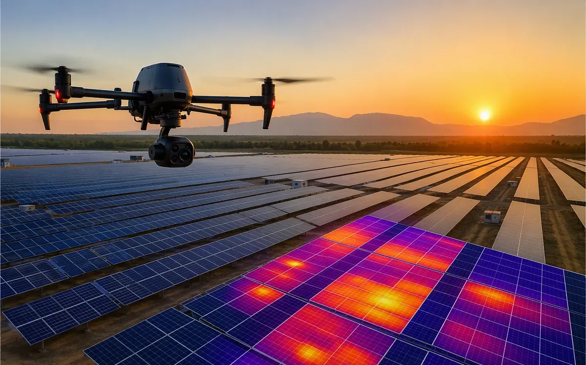
Drone Thermography for Solar Plants: Finding Faults Before They Cost You

Drone Thermography for Solar Plants: Finding Faults Before They Cost You

Why module-level thermal inspection pays for itself — defect types, ROI math and inspection cadence.

Read article
NDVI Explained: How Multispectral Drones See Crop Stress Early

NDVI Explained: How Multispectral Drones See Crop Stress Early

A practical guide to NDVI/NDRE mapping, stress detection windows and turning maps into field action.

Read article

Need a Drone Survey for Your Project?

Send us your ToR or site location — we'll respond with methodology, timeline and a transparent quote within 24 hours.