
Aerial Solutions for Every Industry We Serve
Government departments, defence organisations, mining majors, solar developers, EPC giants and smart cities trust our drones to see more, know more and decide faster.
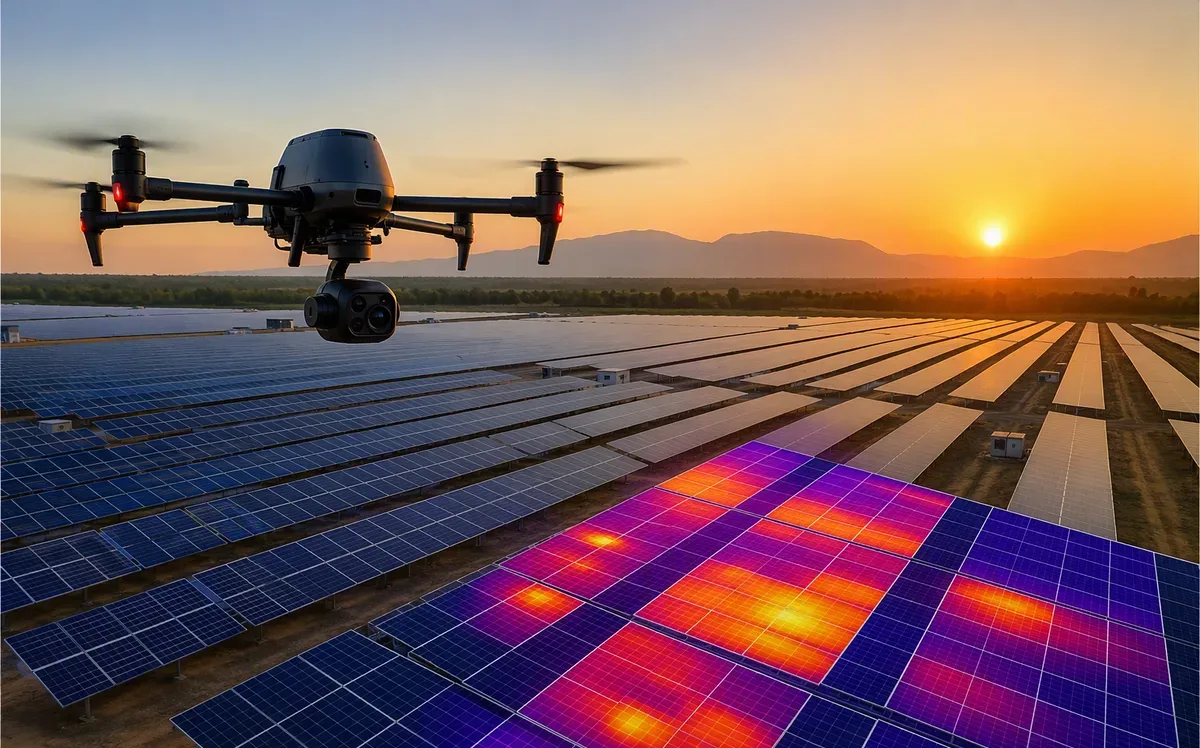
Solar
Plant thermography, construction monitoring & O&M analytics for utility-scale solar.

Mining
Pit surveys, volumetrics, haul-road analysis & statutory reporting.

Construction
Progress tracking, earthwork quantities & 3D site twins for EPC projects.

Power
Plant inspection, stockpile volumes & thermal analytics for generation assets.

Transmission
Line & tower inspection, corridor mapping & vegetation encroachment.

Agriculture
Crop health, spraying, counting & precision farming programs.

Oil & Gas
Pipeline ROW, tank farms, flare stacks & leak indication surveys.
Infrastructure
Highways, metro, airports & smart-infrastructure corridor mapping.

Telecom
Tower inspection, site surveys & asset digitalisation.
Smart City
3D city models, digital twins & municipal GIS mapping.
Railways
Alignment surveys, bridge inspection & track-corridor monitoring.

Defence
Surveillance platforms, training & mission-ready UAV systems.

Manufacturing
Plant inspection, inventory volumetrics & safety surveillance.

Ports
Yard mapping, crane & structure inspection, security overwatch.
Real Estate
Marketing films, progress reports & township-scale mapping.
Your Industry, Your Mission — We Build Around It
Every sector has its own compliance, terrain and data needs. Talk to us about a solution tailored to yours.